Maps tend to be under used in history although they are in essential tool for understanding all branches of historical scholarship and they are particularly vital in any sort of military history.
Unfortunately maps and words belong to two very different branches of scholarly and creative activity. They require two very different set of skills. Technology has made it easier to produce allsorts of visual representation is of knowledge end of analysis but there are still significant obstacles for someone who has serve their apprenticeship on the wordy side of the fence in producing maps which accurately you Technology has made it easier to produce allsorts of visual representation of knowledge end of analysis but there are still significant obstacles for someone who has serve their apprenticeship on the wordy side of the fence in producing maps which accurately depict the location of events.
I have found the part of the problem is that when we see maps as an image,
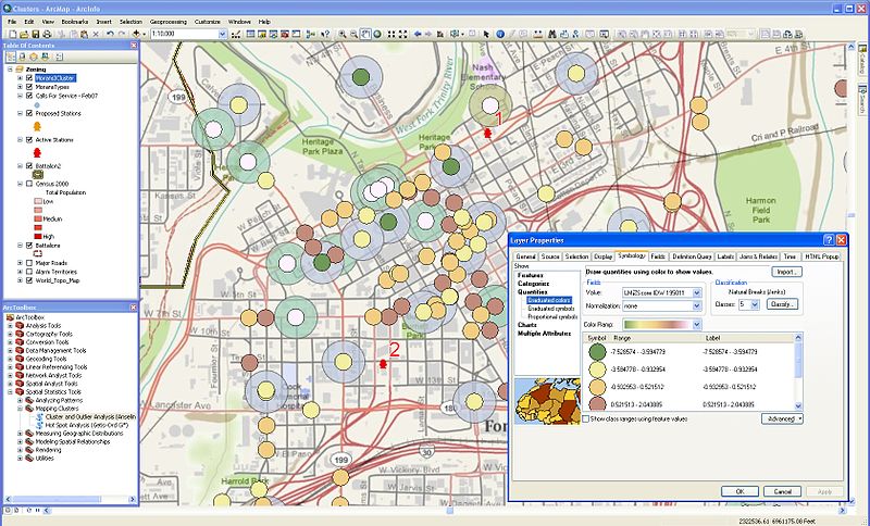
geographers and those who create digital maps see them as a collection of data. Where we see a map as a single image in one layer, The best contemporary mapping tools see them as many layers representing different types of features. There are many excellent GIS programs, including some very fine free ones, available and a great deal of highly accurate maps available in the formats which those programs use.
The problem for any historian is that the learning curve for those applications is quite steep in spite of all the vigorous assertions of their users that they are ‘easy’. There are two problems which I have encountered. One is that the available data sets provide far too much contemporary detail then the historian needs. Every different type of building road and track is on a different layer which is perfectly sensible for for mapping but it makes removing modern features a lengthy and tedious process.
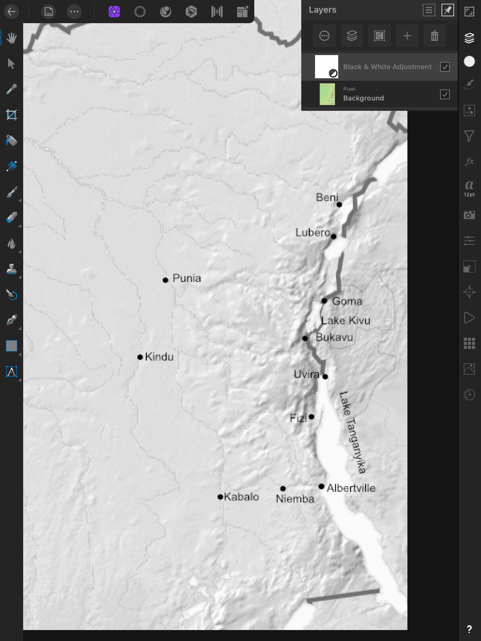
As a result in producing the maps which I’ve used in my research on peacekeeping I have mainly fallen back on taking screenshots of open source physical map sets for the relevant areas. I zoomed in on the relevant area, grabbed a screenshot and saved for editing on a photo app. When it came down to it I actually found it it was easiest for me to do this on my iPad. Having grabbed the screenshots from the browser I was then able to crop them to remove the borders and add places and place names using simple editing tools like Affinity Photo or Lightroom. Key requirement was that the application are used for anything had to support the use of layers so that I could add a layer to mark on the places and place names. Huge collections of fancy filters were of no value as the only alteration to the colouring that was required was a simple greyscaling.
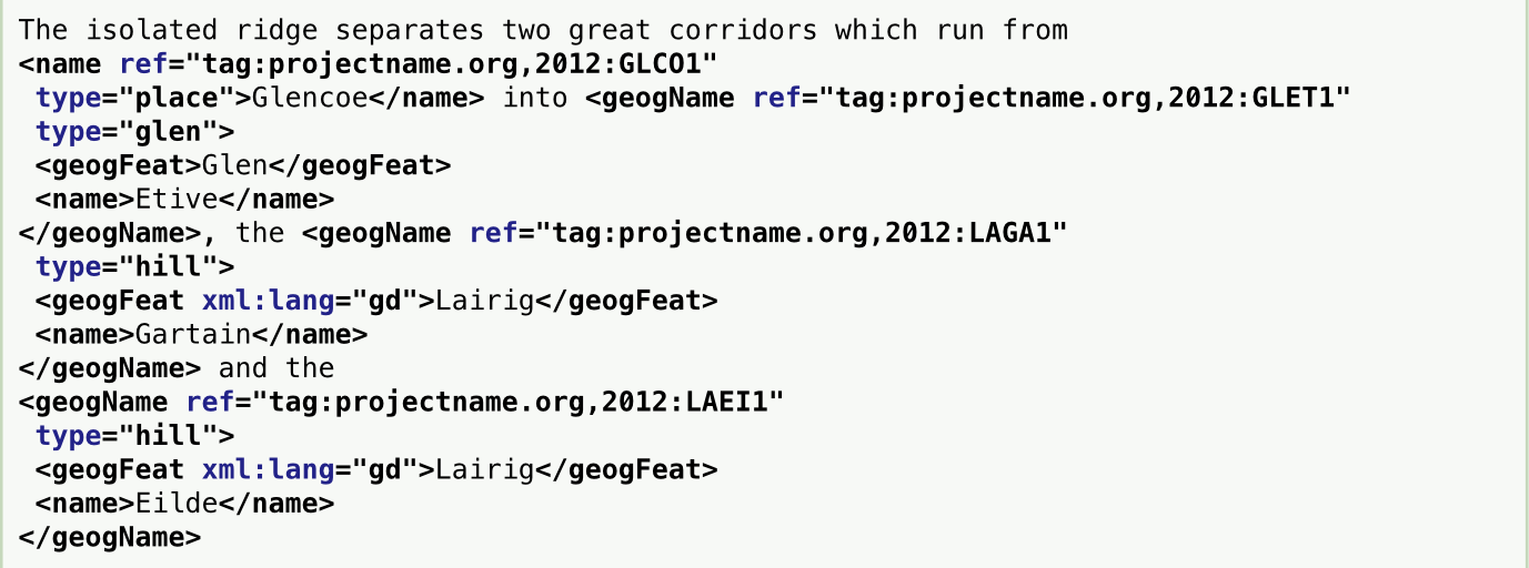
Of course this was done after all the research was complete. If I was beginning a similar project now I will take a significantly different approach to dealing with the place names. Right from the beginning I would systematically tag and reference every place name in the research. Some text analysis programs will do this automatically using existing lists of place names to apply Named Entity Recognition but this is not always entirely accurate yet. Automate recognition of place names does not always discriminate between different meanings of a place name. The most interesting example of this which I came across in teaching classes in digital methods was the place name referred to in the United Nations report on Syria which could refer to a geographical feature, a town located by that feature and an administrative district. Obviously while it is possible to automatically tag every instance of that particular place name in the body of documents it is still necessary to check every instance of the place name in order to make sure that it is categorised correctly.
If you correctly do your reference every place name of importance in the research then it becomes much easier to map those locations. This makes it possible to see the relationship of the different locations to one another and to make sense of patterns of activity across the landscape. It is one thing to read about locations and incidents in official documents but to do that Without any sense of how they physically relate to one another is to miss an important dimension in the emergence, spread and resolution of conflicts.
The end product of this research journey is now out as an ebook on Amazon. It has some unspectacular maps, but don’t let that put you off buying the book!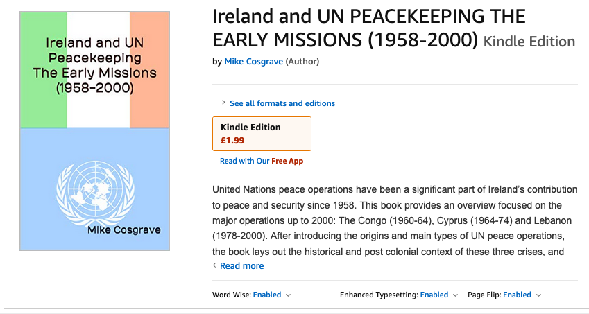
Leave a Reply